


![]()
The USDA determines the eligibility of an area based upon census data and sets a maximum population limit. Until the 2010 census data was released, it was using the 1990 and 2000 census data and had set the maximum population for the area at 25,000.
I say “area” and not “towns” because it doesn’t go by towns; it uses census tracts. It is possible for a town or small city to have more than one census tract and that one census tract in a town may be eligible while another may not. This is true of Waterford, CT. Nearly the entire town is eligible except the eastern side near New London.
In 2013, the USDA announced the updated census tracts that would be eligible based upon the newest census data from the 2000 census. In many states, including my state of Connecticut, this would have effectively reduced the eligible areas by nearly one half. This created tremendous uproar from housing organizations and the USDA decided to postpone the implementation of the new maps.
The Agriculture Act of 2014, H.R. 2642 (The Farm Bill) modified section 520, which refers to the Rural Development loan program. The modification included the use of the 2010 census data but increased the maximum population from 25,000 to 35,000. This modification will ensure that the eligibility maps will stay generally the same as they have been for the past 10+ years.
 It was also announced that any area that was deemed a Rural area as of 9/30/2014 will remain eligible until 9/30/2014. Currently, only the areas that transitioned from ineligible to eligible are available on the map. The USDA noted that a preview of the complete map (including the areas that will become ineligible) will be available for preview during the summer, ahead of the 9/30/14 changes.
To view a map or to verify if a home is located in a Rural area, you can follow this link (http://eligibility.sc.egov.usda.gov). On the left toolbar, click on “Single Family Housing” under the heading of “Property Eligibility”. Click Accept on the page that follows and you will be taken to the map. You can type in the exact address or the town or the state (although the system will “bark” at you for the last two.)
You may be wondering why someone like me who helps condominiums to obtain their FHA condo approvals is concerned with the USDA Rural Development maps. And I would say that is a great question.
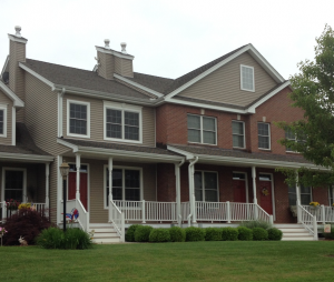
The USDA RD program does allow for loans for condo units. In order for a condo unit to be eligible for USDA financing, it has to be in a Rural area and the condominium project has to be on the FHA Approved Condominium List. Therefore, no FHA condo approval – no USDA financing.
While most of the condominium projects with whom I work are not in Rural areas, there is a large percentage that are and having the ability to attract USDA RD loan buyers is very important.
USDA logo courtesy of the USDA